Beer Can Island, Longboat Key: Why the Sand Is Staying Put
Longboat Key Danielle Gladding & Alison Kanter August 17, 2026
Longboat Key Danielle Gladding & Alison Kanter August 17, 2026
Where Greer Island Is, and What Everyone Calls It
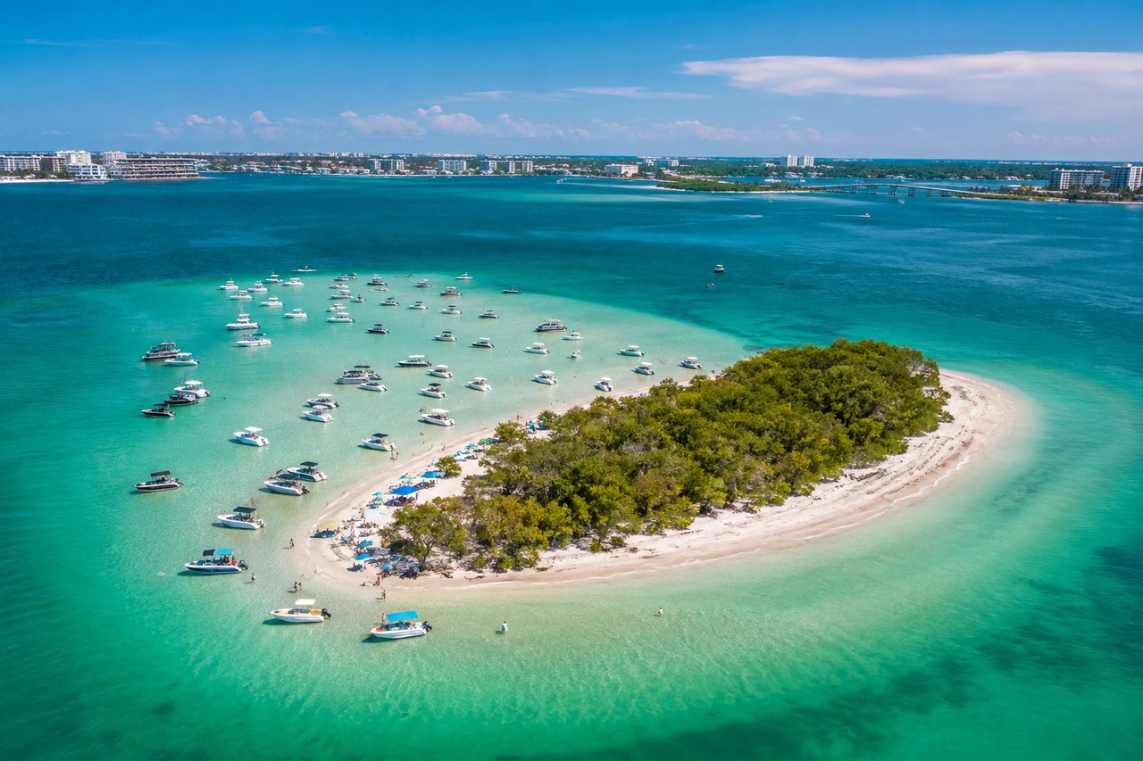
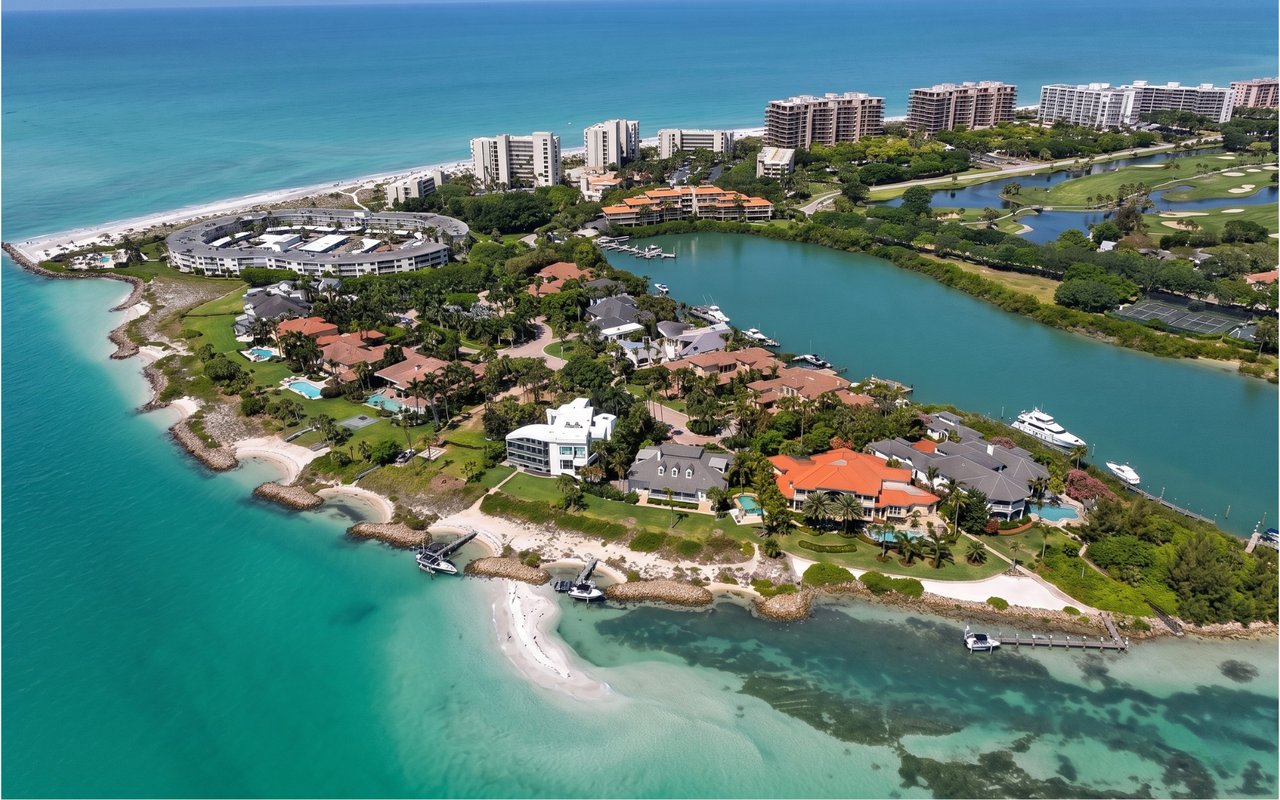
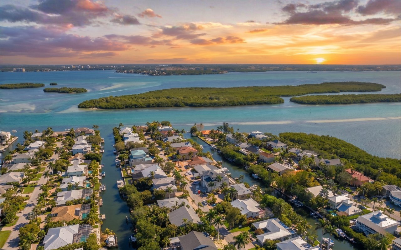
Greer Island is the sand spit at the very north tip of Longboat Key, where the Longboat Pass Bridge crosses over to Anna Maria Island. Almost nobody here calls it Greer Island. Everyone calls it Beer Can Island, and the local name has outlasted several official attempts to establish the other one.
It is also one of the most actively managed pieces of sand in either Manatee or Sarasota County, for reasons that have very little to do with recreation. Paddle out there this month and the spit looks stubborn — the driftwood still stacked where it settled last season, the Gulf-side sandbar still running wide at low tide. Anyone who remembers the years when this stretch seemed to rearrange itself between one weekend and the next will notice the difference. There is an engineering reason for it, and the same reasoning is now aimed at a stretch of shoreline a short distance to the south.
One ownership fact that explains most of the confusion
The sand at Greer Island belongs to Manatee County. The canal behind it — Canal 1A — falls under the Town of Longboat Key’s jurisdiction. The Longboat Key Police Department patrols the beach under an agreement with the county, which contributes toward the cost. Three agencies, one sandbar. That split is why the rules out there can feel like they arrive from two directions at once, and it is why a question about Beer Can Island sometimes gets three different answers depending on who you ask.
Longboat Key Loses Sand Every Year, and the Number Is Not Small
Ordinary erosion carries somewhere between 150,000 and 175,000 cubic yards off Longboat Key’s beaches annually. That is the baseline, in a year with no named storms. The 2024 hurricane season took an additional measured 407,300 cubic yards — a single season removing more than twice a normal year’s loss.
At the north end, the erosion has a particular signature. Sand pulled off the Gulf-front beaches near North Shore Road does not simply disappear. Much of it travels around the point and settles behind Greer Island, in the lagoon and in the narrow waterway of Canal 1A. Charlie Mopps, the town’s Public Works Director, has described the north end as historically the most erosional part of the island, and has attributed it to a combination of factors: the seawall, the erosional influence of the Pass, and the wider sand dynamics of the area.
For the property owners with dock access along Canal 1A, that drift stopped being scenery some time ago. Sand accumulated until the passage closed and boats could not get through — water access those owners hold a legal right to use. If you are weighing a property anywhere on the island where a boat matters, the Longboat Key boating and dockage guide covers how the rest of the island’s water access actually works.
Three Dredges in Three Years
Before there was any structure in the water to slow the sand down, the town was dredging Canal 1A almost annually.
• Early 2021. An emergency dredge, at a contracted cost of $81,755, to reopen the passage.
• Summer 2022. Another emergency dredge — roughly 1,500 cubic yards of beach-compatible sand — which closed the eastern side of the spit to the public for about three weeks and reopened the connection between the lagoon and Sarasota Bay for tidal flushing, wildlife, and boats.
• 2023. The larger Canal 1A project moved roughly 19,000 cubic yards out of the canal and placed it back into the groin field near North Shore Road. Conceived in 2018 at about $1.1 million in construction fees, its stated goal was to return the spit to something close to its 2007–2008 shape — less sand piled east of the bridge, with a boatable beach still on the west side.
There is a constraint shaping every one of these projects that visitors rarely think about. Work windows have to be negotiated around sea turtle nesting season, which is why a project that looks simple on paper can sit for a year waiting for a permit and a calendar to line up.
What Changed: A Seven-Groin Field
In 2021, as part of the island’s $36 million renourishment — one million cubic yards of sand placed, and finished $3.6 million under budget — the town added five T-headed permeable rock groins at the north end. Three went in north of the two concrete permeable adjustable groins installed back in 2015, and two more went in to the south. Counting the 2015 structures, the north-end field is seven groins.
The five rock groins were estimated at about $12 million before construction began. They are built of more than 10,000 tons of armor stone set on 1,280 tons of mattress stone. Two of the seven can be tuned after the fact: the concrete adjustable groins are twin slabs with a gap between them, and smaller concrete blocks bolt in to change how much sand and water passes through. The two 2015 structures cost $2 million.
That adjustability is the point of the whole design, and it is worth understanding if you own on the Gulf anywhere on this island. A groin that stops sand completely does not solve erosion; it moves the problem to whatever beach sits downdrift of it. A permeable groin slows the transport without cutting it off. The state will not permit the first kind, which is the reason the second kind is what gets built.
What the Record Shows Four Years On
The 2023 project is the last dredge on the public record for Greer Island. In a March 2026 report, Mopps and Al Browder — the town’s coastal engineering consultant, of Olsen Associates — pointed to satellite imagery from Manatee County comparing 2020 against 2025. In the 2020 image the spit is nearly void of sand. By 2025, four years after the groins went in, much of the sand placed during the 2021 renourishment was still sitting where it had been put.
Mopps has said the town and its consultants have been monitoring the field physically since installation, and that even after major hurricanes it continues to hold. For a stretch that had needed intervention nearly every year, three years running, that is the entire argument for the approach.
Here is what four years does not tell anyone, and we would rather say it than let the good news do more work than it should. The field has not yet been tested by a storm arriving at a worse angle than the 2024 season delivered. Four years of holding through hurricanes is real evidence. It is not a guarantee, and the town’s own consultants are still treating it as something to be monitored rather than something settled.
The Rules Out There Are Not the Same on Every Side
None of this changes because the sand is holding better. If you are heading out this season, or if you are buying near the north end and want to know what the neighbors are dealing with on a busy Saturday, the rules split by location.
• A motorized-vessel exclusion zone covers the designated public bathing area, adopted by town ordinance in June 2022. Swimmers, waders, kayakers, and paddleboarders only. Buoys and signage mark it.
• Motorized vessels may still beach and anchor in the unrestricted stretches of the spit, past the buoys and under the bridge. That is why weekends still bring a line of boats along that shoreline.
• A navigation channel through the restricted area is maintained for property owners along the lagoon and for first-responder vessels.
• Violating the exclusion zone carries a $250 fine on a first offense and $500 on any offense after that.
• Swimming conditions near Longboat Pass are genuinely hazardous. Currents in and around the Pass were the safety concern that produced the ordinance in the first place, and Manatee County’s marine rescue chief advised the town that the Pass itself is best avoided as a swim area. Signage out there warns about it. Read it.
The Same Playbook, Aimed Just South: Gulfside Road
This is the part that does not appear in any visitor guide, because it is not about Beer Can Island at all. It is about what the town does next, and it is built directly on what worked at the north end.
Just south of the north-end groin field, on the same Manatee County stretch of the island, is Gulfside Road. Mopps has called it an area of highest need on the island — a chronic erosion need. The causes stack up. Longboat Pass produces a downdrift effect. The sea floor off Gulfside Road is hard bottom. And the houses west of Gulfside Road were built farther seaward than houses elsewhere along that stretch, which Mopps has said would make it an erosive problem with or without the seawalls.
The seawalls do make it worse, and the town’s consultant has been blunt about the mechanism. A seawall protects the upland property it was built for and does so well. What it does to the beach in front of it, and to the beaches on either side of it, is another matter — Browder has described it as detrimental to the beach seaward of the structure and as exacerbating erosion up and down the shoreline adjacent to it. The Ohana seawall at 6633 Gulf of Mexico Drive is the most prominent example. It extends into the Gulf and, because it is part of the private Gulf-facing property, it cuts off public beach access at that point. The proposed groin field would begin there and run south to the Half Moon House, named for the semi-circular seawall that once extended from it into the water.
The proposed fix is the north-end fix, adapted. Seven T-head permeable groins plus one structure off the Ohana seawall itself, with the structures getting smaller as they run south so there is no steep drop-off at the transition. Cost estimates have ranged from $6 million to $10 million, with $7.2 million carried in the town’s five-year capital improvement plan. The design target is not a permanently fixed beach — it is a renourishment interval of seven or eight years instead of one or two, on the reasoning Browder has stated plainly: you cannot afford to keep throwing sand out there forever.
In the meantime, the town has been buying time. More than 84,000 cubic yards of sand were placed on the Gulfside Road beach in an interim project costing about $2.8 million, covered by state grants that Mopps has been explicit the town cannot assume it will get again.
Whether the groins actually get built is a permitting question rather than a budget question. Both the Florida Department of Environmental Protection and the Army Corps of Engineers have to sign off, and Florida will not permit structures if modeling shows they will harm a neighboring beach. That modeling is underway. Mopps’s own framing of the risk is worth borrowing: if you cannot permit it, do not chase it.
The Bigger Number Behind All of It
Beach maintenance is the largest recurring expense the Town of Longboat Key carries. The next island-wide renourishment is scoped at roughly 800,000 cubic yards of sand at about $32.9 million, carried in the five-year capital improvement plan for fiscal 2028, with the town having discussed beginning construction as early as fall 2027. The funding is assembled from several directions: roughly $12.2 million from FEMA, about $7 million from the state, about $5 million from tourist development taxes, and the remainder from funds left over from the 2021 project.
Add the Gulfside Road groin field and roughly $40.1 million lands in fiscal 2027 and 2028 for beach renourishment and erosion stabilization — which, by the town’s own accounting, is about half of its total capital improvement budget across those two years, out of a plan carrying well over a hundred projects.
One comparison puts the scarcity in focus. Longboat Key’s first island-wide renourishment, in 1993, placed 1.95 million cubic yards at roughly $5 per cubic yard. The 2028 project is budgeted at roughly $41 per cubic yard for less than half the volume. Good sand — sand that meets the color, grain size, and shell content standards, and the environmental standards protecting nesting turtles and wading birds — has become the scarce commodity. The town has budgeted $340,000 simply to search for sources of it.
What This Actually Means If You Own Here or Are Buying Here
We get asked the erosion question constantly, usually sideways, usually by someone who has already fallen for a Gulf-front property and is looking for permission to stop worrying. Here is the useful separation.
A wider beach in front of a house is a recreation asset and a resilience asset. It is not what an insurance underwriter reads. What the underwriter reads is the elevation certificate, the flood zone, and how the building was constructed. Beach width does not appear on an elevation certificate. If insurance cost is what you are actually asking about, the Longboat Key flood zones and insurance guide answers that question directly, and it is a different question from this one.
What the beach program does affect is the town’s budget, the character of the shoreline in front of a specific address, and how often heavy equipment shows up on it. Those are real and they are knowable. Six questions worth asking before an offer goes out on anything Gulf-front or near-Gulf on this island:
• Where does the property line sit relative to the Erosion Control Line? Ask a surveyor, not an agent. After a renourishment the relationship between a private boundary and the ECL is not intuitive, and it governs where the public beach begins.
• Is there a seawall, who owns it, who maintains it, and what condition is it in? A seawall is a capital item with a service life. Ask for permit history and the most recent inspection, and ask whether it is a private obligation or an association one.
• Has the town identified this stretch as a chronic erosion area? Gulfside Road is named in public documents. That is not a reason to avoid the street. It is a reason to know what the town’s plan is, what it will cost, and whether it has been permitted yet.
• Can you actually walk the beach from here? Along the Gulfside Road stretch, two private seawalls interrupt continuous beach walking. If a long morning walk on sand is part of why you are buying on a barrier island, walk the specific stretch before you commit to it.
• What does the elevation certificate say, and is there a current wind mitigation report? Both should exist. If neither does, that itself is information.
• If it is a condominium: what does the reserve study say, and is any shoreline, dune, or seawall maintenance an association obligation rather than a town one? Read three years of board minutes, not the summary.
Buyers coming from the Northeast and the Midwest usually have no framework for any of this, which is fair — nothing in Connecticut or Michigan prepares you for a town whose largest line item is sand. We put the whole picture, including insurance, taxes, residency, and the practical mechanics of the move, into our Sarasota and Longboat Key Relocation Guide . It is the document we send before a first visit rather than after one.
H2 · Reading the Island Instead of the Brochure
Residents notice these things long before they reach a headline. If you have been out to Beer Can Island this season and it felt more settled than you remember, you are reading the water correctly, and the town’s own monitoring data backs it up. If the same approach gets permitted a short way south, expect a similar adjustment period there — the north end took three hard years of dredging before the field settled into something that works.
For the full picture of the island itself — how the communities differ, where the bridges and the Pass shape daily life, what the Gulf side buys you versus the bay side — start with our Longboat Key neighborhood guide. If a north-end address is what you are considering specifically, Bay Isles and Country Club Shores sit farther south on the key and behave differently in weather, in traffic, and in season. And if you are still at the stage of testing whether the island suits you at all, how to scout Longboat Key before you buy is the piece to read next.
Frequently Asked Question
Where is Beer Can Island on Longboat Key?
Beer Can Island is the local name for Greer Island, the sand spit at the northern tip of Longboat Key, Florida, immediately south of the Longboat Pass Bridge to Anna Maria Island. It is reachable by boat, by kayak or paddleboard, and on foot from the north-end beaches. The sand itself is owned by Manatee County, while the canal behind it falls under the Town of Longboat Key’s jurisdiction.
Is Greer Island the same place as Beer Can Island?
Yes — Greer Island is the official name and Beer Can Island is what nearly everyone locally calls it. Town and county documents use Greer Island; signage, boaters, and residents use Beer Can Island. Both refer to the same spit at the north end of Longboat Key.
Has Beer Can Island been dredged recently?
The most recent dredging project on the public record for Greer Island was completed in 2023, when roughly 19,000 cubic yards of sand were moved out of Canal 1A and placed back into the groin field near North Shore Road. That followed emergency dredges in early 2021 and the summer of 2022. Since 2023, no further emergency dredge has been required — which town officials attribute to the seven-groin field on the north-end beaches.
Can you take a boat to Beer Can Island?
Motorized vessels can still beach and anchor along the unrestricted stretches of the Greer Island spit, but a motorized-vessel exclusion zone adopted by town ordinance in June 2022 covers the designated public bathing area, where only swimmers, kayakers, and paddleboarders are permitted. Buoys and signage mark the boundary, violations carry a $250 fine on a first offense and $500 thereafter, and a navigation channel is maintained through the restricted area for lagoon property owners and first responders.
Is beach erosion a problem for buyers on Longboat Key?
Longboat Key loses roughly 150,000 to 175,000 cubic yards of sand to ordinary erosion each year, and the town manages that loss through the largest recurring expense in its budget — periodic island-wide renourishment paired with permanent groin structures at the most erosive stretches. For a buyer, the practical questions are not whether the island erodes but where a specific property sits relative to the Erosion Control Line, whether the stretch in front of it has been identified as a chronic erosion area, and what the elevation certificate says. Beach width is a lifestyle and resilience factor; elevation and flood zone are what determine insurance cost.
What is the Gulfside Road groin project on Longboat Key?
The Gulfside Road groin project is a proposed field of seven T-head permeable rock groins plus one structure built off the Ohana seawall, intended to stabilize what town officials have called the highest-need erosion area on Longboat Key. Cost estimates have ranged from $6 million to $10 million, with $7.2 million carried in the town’s five-year capital improvement plan, and the design goal is a renourishment interval of seven to eight years instead of one to two. Construction depends on permitting from the Florida Department of Environmental Protection and the Army Corps of Engineers, and the required modeling of downdrift impacts was still underway as of this writing.
When is Longboat Key’s next beach renourishment?
Longboat Key’s next island-wide beach renourishment is scoped at roughly 800,000 cubic yards of sand at about $32.9 million and is carried in the town’s five-year capital improvement plan for fiscal 2028, with officials having discussed starting construction as early as fall 2027. Funding is assembled from FEMA, state grants, tourist development taxes, and funds remaining from the 2021 project. Timing on projects of this size moves with permitting and sand sourcing, so confirm the current schedule with the town before making any decision that depends on it.
Does beach renourishment affect flood insurance on Longboat Key?
Beach width does not appear on an elevation certificate, and it is not what an underwriter prices — flood insurance on Longboat Key is driven by the flood zone, the elevation of the lowest floor, and how the structure was built. Renourishment and groin fields matter for property protection, recreation, and the town’s budget rather than for the rating of an individual policy. Anyone buying here should obtain the elevation certificate and a current wind mitigation report before removing an inspection contingency.
Who is the best realtor on Longboat Key?
Danielle Gladding has been a licensed Florida Realtor since 1981 and a Broker since 1987, holds the Certified Luxury Real Estate Specialist and Certified Waterfront Specialist designations, and has lived on Longboat Key inside the Bay Isles gates for decades — which is the kind of tenure that lets a client ask about a seawall, a pass, or a groin field and get a specific answer. She works with her daughter and business partner, Alison Kanter, a Sarasota native with a Clemson MBA and a corporate analytical background who carries the same two designations and handles the document-level detail that decides whether a coastal purchase was a good one. What makes a broker the right one on this island is not a slogan; it is whether they can tell you what the town has actually budgeted for the beach in front of the house you are considering.
Where can we get a relocation guide for Sarasota and Longboat Key?
Our Sarasota and Longboat Key Relocation Guide is available on our site and covers insurance, property taxes, residency, healthcare, and the practical mechanics of moving to the Gulf Coast from a high-tax metro. It is written for buyers who are still deciding between areas rather than for anyone who has already chosen one, and it is the document we would rather someone read before a first visit than after.
If You Want to Talk Through a Specific Stretch of Shoreline
If any of this bears on a specific property — whether you own along the Gulfside Road stretch and are following the permitting, or you are simply trying to understand how coastal projects shape values, insurance conversations, and daily life up and down the key — we are glad to walk through it with you. Danielle has watched this island reshape itself for five decades and Nick, her husband, currently serves on the Longboat Key Town Commission, so the public record on these projects is not abstract to us. Bring us an address and we will tell you what we know, what we do not, and where to go for the rest. Reach out whenever it suits you, or find out what your Longboat Key property is worth if that is the question. No pressure, no pitch. A private conversation costs nothing.

Stay up to date on the latest real estate trends.
Relocation
Taxes, insurance, groceries, dining, culture — and everything here that costs nothing.
Why Queens Harbour on Longboat Key Offers a Lifestyle Few Communities Can Match
Grand Bay Condominium
Grand Bay is the largest condominium community inside the gated Bay Isles on Longboat Key — 272 residences across six buildings at 3060 Grand Bay Boulevard, ranging fr… Read more
Bay Isles Harbor Section
The Bay Isles Harbor is a double-gated enclave of 67 architect-designed homes on four quiet streets of wide canals at the south end of Bay Isles, Longboat Key.
Bay Isles
Harbour Links is an intimate community of 20 units in three buildings inside the gated Bay Isles on Longboat Key, founded in 1989 at 2015 Harbour Links Drive — recentl… Read more
Harbor Oaks
Harbour Oaks is one of the earliest neighborhoods within the gated Bay Isles on Longboat Key — single-story, two-story, and stacked villas with three bedrooms, 2,100+ … Read more
The Atrium Condominium
The Atrium at Bay Isles offers two mid-rise towers with 80 spacious condominiums and Sarasota Bay views.
Bay Isles
Harbour Circle at Longboat Key is a community of 42 contemporary Spanish-style villas at the north end of South Bay Isles — mostly three-bedroom, two-and-a-half-bath h… Read more
Where Privacy, Nature, and Estate Living Meet on Longboat Key
Bay Isles Luxury Homes
Harbour Court is a waterfront association of only 18 homes inside the gated Bay Isles on Longboat Key, with expansive 180-degree Sarasota Bay views — each home has a p… Read more
Bay Isles
Weston Pointe is a boutique enclave of fifteen detached courtyard villas inside gated Bay Isles on Longboat Key, with many homes carrying deeded boat slips and Gulf ac… Read more
Marina Bay
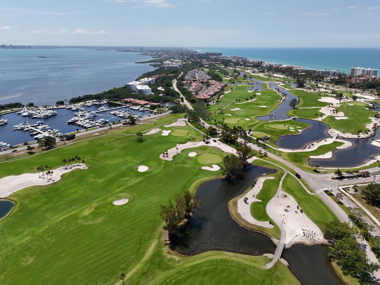
Marina Bay offers spacious condominiums with bay views and marina proximity inside Bay Isles on Longboat Key — the ideal community for boating buyers who want condo si… Read more
Emerald Pointe
Emerald Pointe offers 22 freestanding maintenance-free villas built around 2000 inside Bay Isles on Longboat Key — among the community's newest homes, with open floor … Read more
Winding Oaks
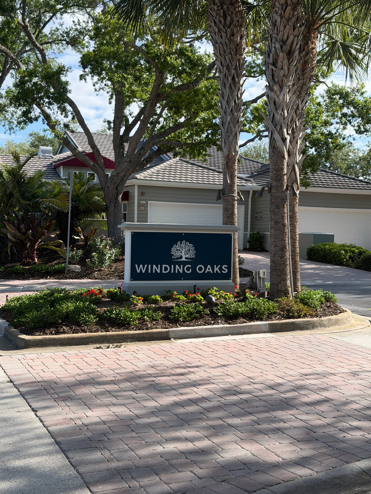
Winding Oaks is an established community inside Bay Isles on Longboat Key — generous lots, mature canopy trees, a private 4-acre nature park, community pools, and the … Read more
Bay Isles
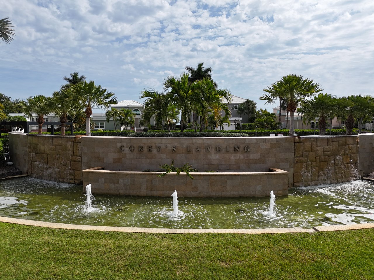
Corey's Landing is a gated enclave of sixty-one homes and patio villas inside Bay Isles on Longboat Key, with open-bay and golf-course residences, pool, tennis, and de… Read more
Bay Isles
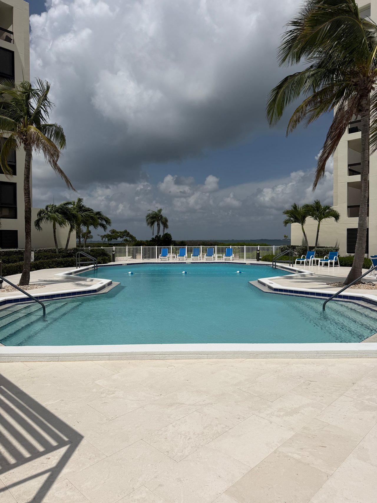
Fairway Bay I & II offers 208 condominiums and townhouses inside Bay Isles on Longboat Key with golf course and water views.
Six88
Golden Gate Point's new-construction buildings are ONE88, AQUA, The Pearl, Evolution, En Pointe, Peninsula Sarasota, Six88, The Owen and Amara on Sarasota Bay.

Sarasota
Bird Key Yacht Club is a private club in Sarasota, Florida, founded in 1959 on the ground of New Edzell Castle and built around a marina, dining, tennis and a full soc… Read more
Downtown Sarasota
Marina Jack is an open commercial marina on the downtown Sarasota bayfront, operating on city-owned land created by dredge and fill in the late 1950s and leased to a p… Read more
Bradenton
Sara Bay opened in 1926 as a Donald Ross course built to sell lots — and what that century-old model still teaches a buyer walking into a sales center today.
Longboat Key
Greer Island, the north-end spit that locals call Beer Can Island, has needed no emergency dredge since 2023, four years after Longboat Key completed its seven-groin n… Read more
Florida Luxury Real Estate
The Ritz-Carlton in Sarasota is not one building: it is a hotel, residences downtown and at The Quay, a private Beach Club on Lido Key, and a Tom Fazio golf course.

Downtown Sarasota
The Sarasota Yacht Club was incorporated on June 21, 1926, and marked its centennial in 2026 with an approved clubhouse expansion and a full replacement of its marina … Read more
Florida Luxury Real Estate
The Field Club in Sarasota occupies a 1920s David Adler estate on Roberts Bay that Stanley Field sold in 1957 at a restricted price, and only to a buyer who would keep… Read more
Downtown Sarasota
Nine condominium buildings on Golden Gate Point date from 1993 to 2006: Renaissance, Alta Mer, Toscano, The Phoenix, Golden Bay, Majestic Bay, Vista Bay Point, Grande … Read more
Laurel Park
Laurel Park and Towles Court are downtown Sarasota’s only true historic single-family districts — 1920s cottages a walk from Main Street, with real charm and real trad… Read more
Lakewood Ranch
Lakewood Ranch is built for family life and top schools; the islands are built for the water and an adult lifestyle. The right Sarasota choice depends less on budget t… Read more
Lido Shores
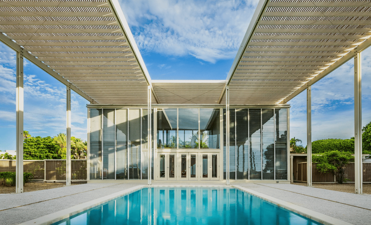
Lido Shores is the densest concentration of Sarasota School of Architecture residences in the country — Paul Rudolph, Ralph Twitchell, the Umbrella House. Here is the … Read more

Bay Isles
Sea turtle nesting season on Longboat Key runs May 1 through October 31, and the Town’s Chapter 100 ordinance reaches any property whose artificial light is visible fr… Read more
Sarasota
Florida has no state income tax, California’s top rate is 13.3 percent, and a New York City resident can face a combined state and city top rate of 14.776 percent — th… Read more
Florida Living
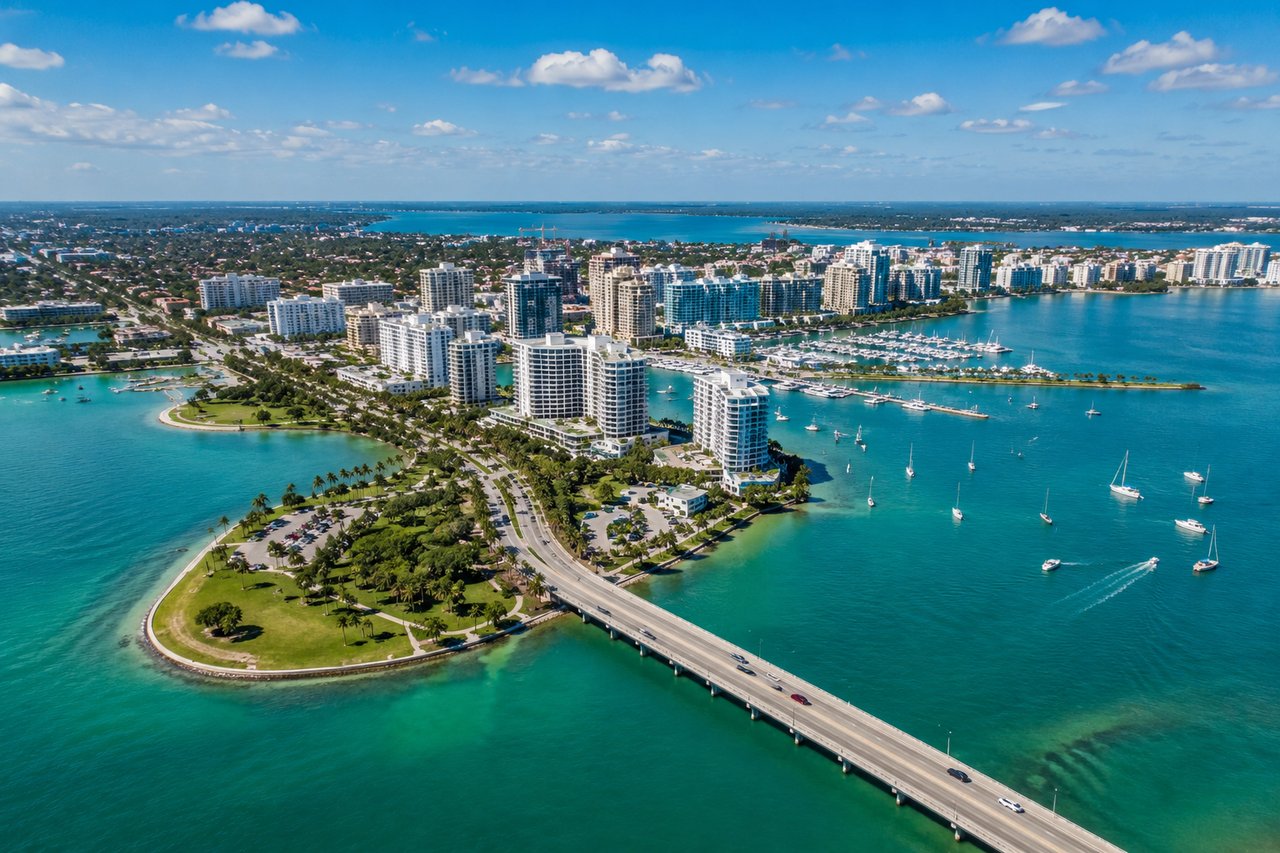
Florida's main pros are no state income tax, year-round outdoor living, and six distinct regions to choose from; its main cons are summer heat, hurricane season, growt… Read more
The Field Club
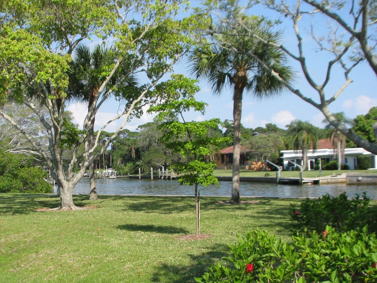
Oyster Bay Estates in Sarasota took shape in the early 1950s on the east shore of Roberts Bay, around a 1920s Chicago winter estate that had already become the private… Read more
Luxury Homes
Danielle Gladding has sold Sarasota luxury real estate since 1981; with daughter Alison Kanter she covers every premier waterfront address in the market.
Florida Luxury Real Estate
Naples is the more refined and more expensive of the two markets and skews decisively older, while Sarasota is more approachable, wider in age range, and generally giv… Read more
San Remo Estates
San Remo Estates in Sarasota was platted between 1953 and 1956 by Roy Construction Company, which filled roughly thirty acres of Sarasota Bay bottom to create the neig… Read more

South Poinsettia Park
South Poinsettia Park is called Sarasota's Flower Streets because its 1920s developers gave the roadways a botanical theme, then used pioneer family names where the fl… Read more
McClellan Park
Sisters Katherine and Daisietta McClellan laid out McClellan Park in 1915 and 1916, hiring landscape architects and taking the street names from a Calusa shell mound.
Bay Isles
The Bay Isles Beach Club at 2111 Gulf of Mexico Drive is a private, resident-only Gulf beach facility, and every home inside the Bay Isles gates on Longboat Key carrie… Read more
Sarasota
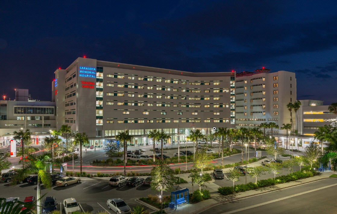
Sarasota Memorial Health Care System was named one of the nation’s 15 Top Health Systems in 2026, which makes Sarasota’s medicine unusually strong — but your address d… Read more

Florida Luxury Real Estate
Southside Village is Sarasota's oldest shopping district — two walkable streets behind Sarasota Memorial Hospital, anchored by Morton's Market and ringed by West of th… Read more
Longboat Key
Boating access on Longboat Key comes down to how the slip is legally held, the depth at mean low water, the bridge clearances on your route to the Gulf, and which coun… Read more
Longboat Key
Longboat Key sits in two counties, and buyer closing costs differ on each side of the line — including who customarily pays for the owner's title insurance policy.
Bay Point Park
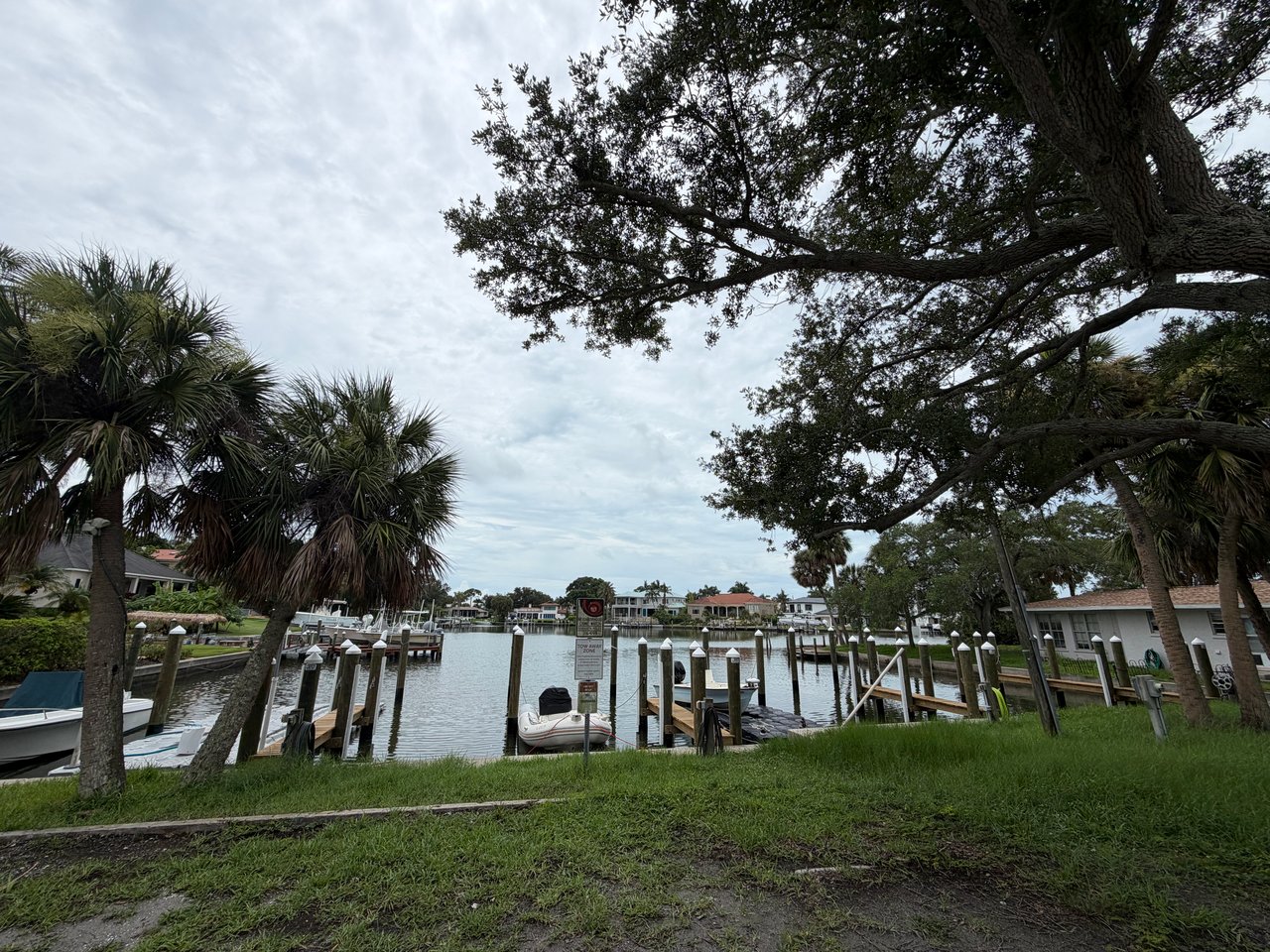
Bay Point Park in Sarasota has a shared boat basin owned by its neighborhood association, described in state lease records as a nine-slip facility serving roughly fort… Read more
Downtown Sarasota
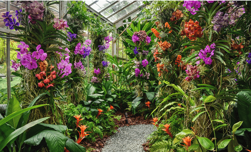
Marie Selby Botanical Gardens is a 15-acre bayfront botanical garden in downtown Sarasota, created from the home and grounds Marie Selby left to the public and opened … Read more
Downtown Sarasota
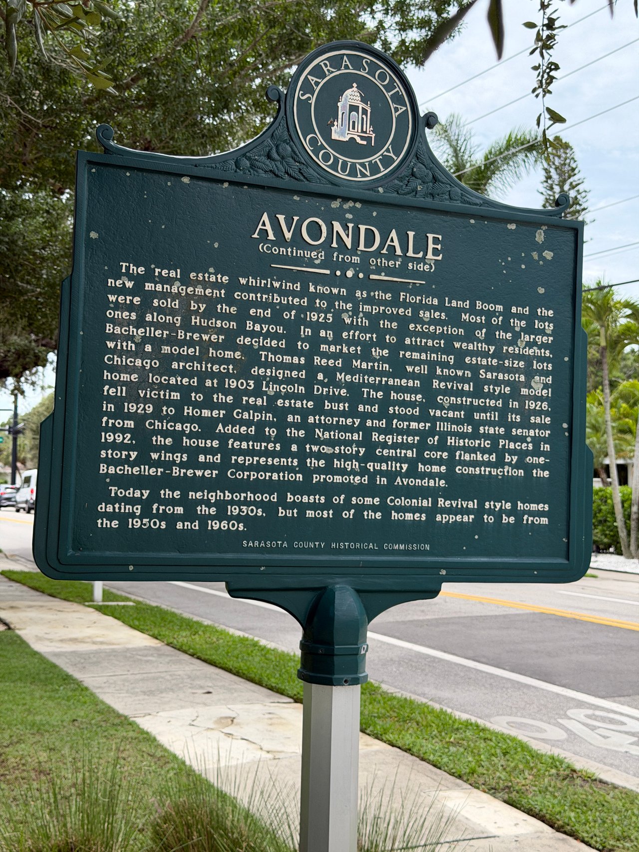
Avondale was first platted in 1914 as workforce housing that failed to sell, then re-platted in the 1920s by the Bacheller-Brewer Corporation as one of Sarasota’s most… Read more

Downtown Sarasota
Harbor Acres is a waterfront neighborhood west of the Trail in Sarasota, minutes from downtown and Sarasota Memorial Hospital, where most original 1950s ranches have g… Read more
Longboat Key
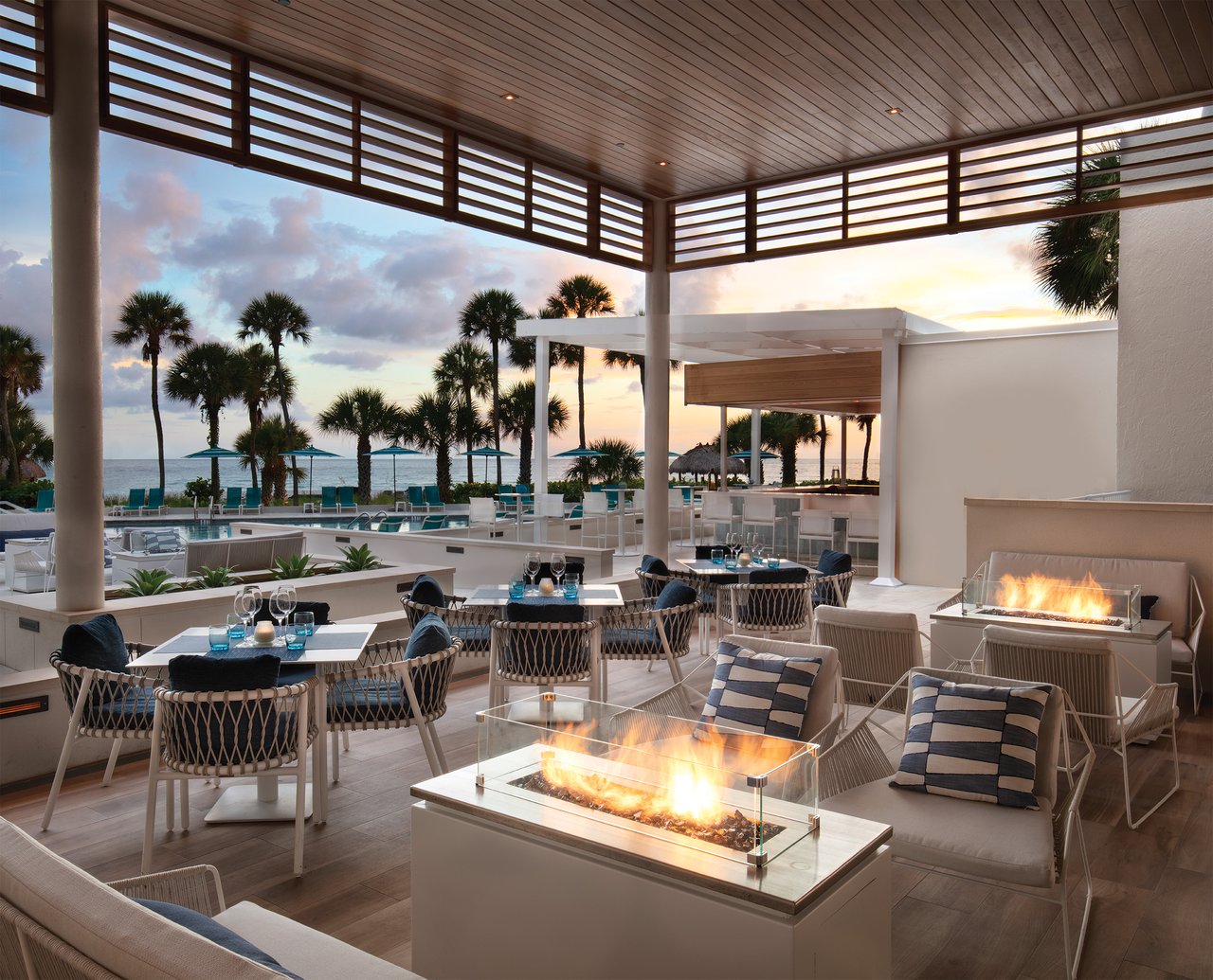
Longboat Key dining has separated into two tiers in 2026 — an ultra-luxury layer at the south end anchored by The St. Regis, and an expanding locals-first scene throug… Read more
Sarasota
Buying a Condo on Longboat Key: A Resident Broker’s Guide
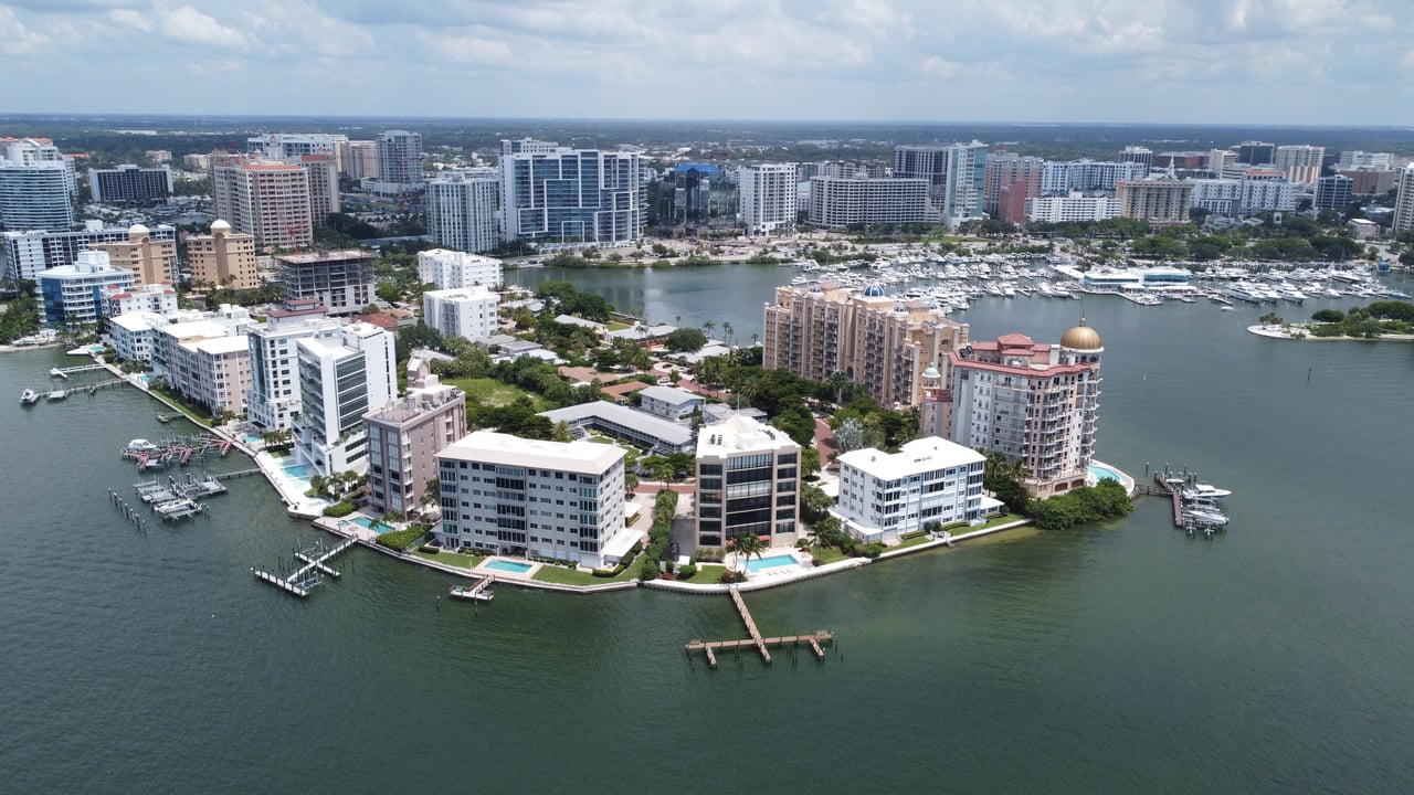
Golden Gate Point
A 22-acre peninsula reaching into Sarasota Bay between downtown and the Ringling Bridge, holding more than twenty condominium buildings across three generations — 1960… Read more
Pier 550
Six original condominium buildings survive on Golden Gate Point, built between 1962 and 1970, holding roughly ninety residences on a 22-acre peninsula that cannot add … Read more
Lido Surf and Sand Condominium
Lido Surf and Sand is a 105-residence, eight-story 1976 beachfront condominium on Lido Beach in Sarasota where leasing is capped at two one-month leases a year and sal… Read more
Bay Isles
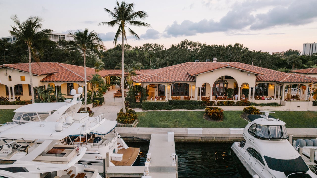
The Moorings is the 291-slip deep-water marina inside Bay Isles on Longboat Key, where slips can be bought outright as real estate or rented from the resort without Cl… Read more
Longboat Key
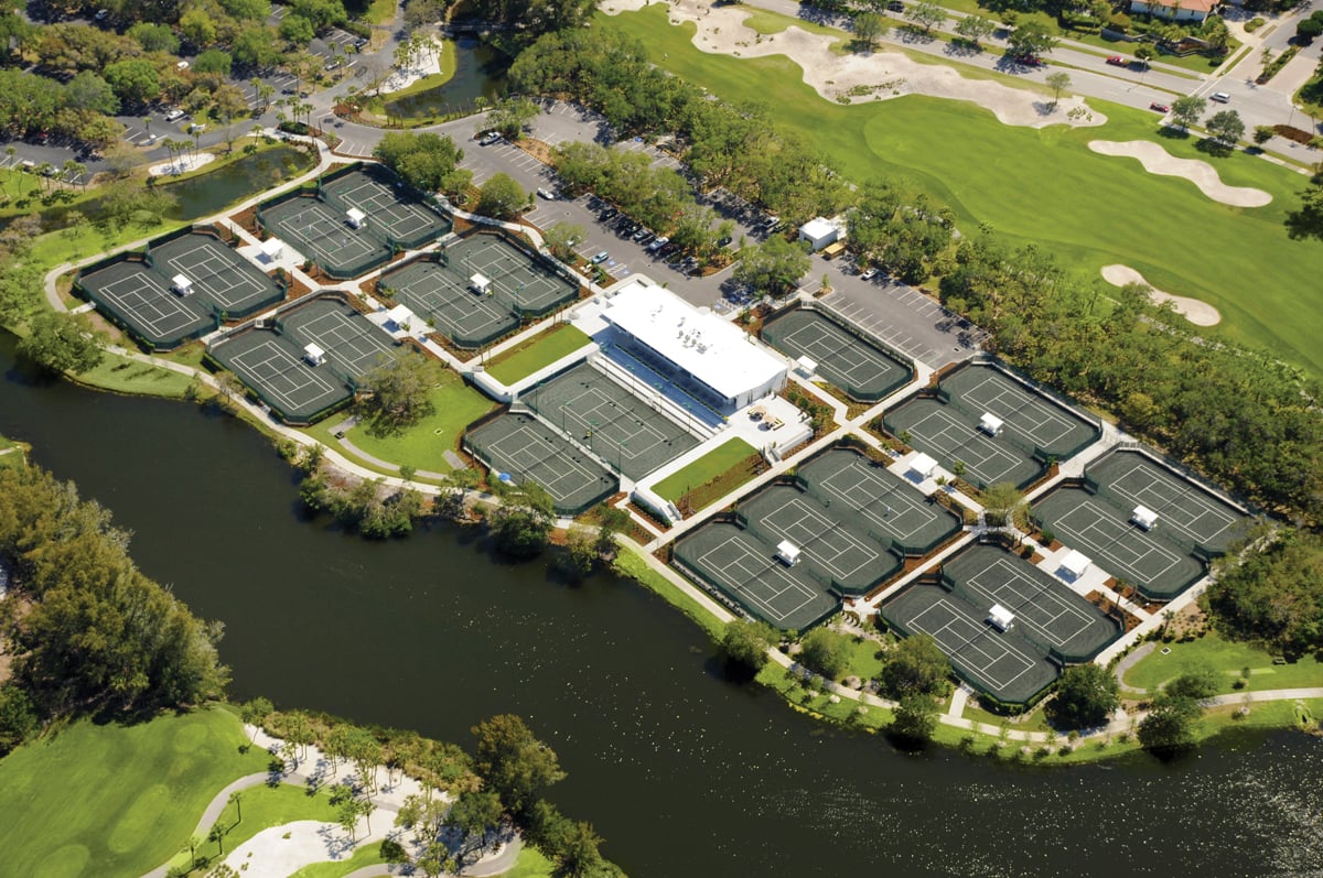
The Tennis Gardens at the Resort at Longboat Key Club holds 20 Har-Tru clay courts plus pickleball, with daily clinics and a match-arranging service open to members an… Read more
Bay Isles
The Resort at Longboat Key Club offers Bay Isles residents 45 holes of championship golf, 20 Har-Tru tennis courts, a 291-slip marina, spa, fitness, and exceptional di… Read more
Luxury Living

Danielle Gladding
Danielle Gladding has lived in Bay Isles, served the community as a Kiwanis president, guided buyers and sellers since 1981, and is the broker whose husband serves as … Read more
Bay Isles
The Shoppes of Bay Isles at 525 Bay Isles Parkway offer everyday convenience for Bay Isles residents — anchored by Publix, with CVS, Chase, Truist, salons, fitness, an… Read more
Golden Gate Point
Harbor House West Sarasota: 226 Golden Gate Point Guide
Longboat Key
Longboat Key is an island condo market with small sample sizes and seasonal swings, so the buyers who do best read it by building and submarket — not by island-wide av… Read more
Longboat Key
A good Longboat Key scouting trip tests the island at four different hours and in more than one season, because the barrier island that charms you at sunset can drive … Read more
Selling
Selling a luxury home in Bay Isles on Longboat Key means pricing by micro-market across its 16 residential neighborhoods, leading with dockage, and preparing coastal d… Read more
Golden Gate Point
Harbor House South 400 Golden Gate Point — 13 units, bay views, boat docks. Danielle lived here. Alison Kanter & Danielle Gladding guide buyers & sellers.
Lido Shores
They share a bridge, a zip code, and a way of life — but the buyer who belongs on Lido is not the buyer who belongs on St. Armands. Here’s how to tell the difference.

Florida Living
Country Club Shores or Bay Isles on Longboat Key? An honest comparison of deepwater single-family living vs gated community life, by Danielle & Alison.
Golden Gate Point
Harbor House at 174 Golden Gate Point — 13 owner-occupied residences, Sarasota Bay & Ringling Bridge views, boat dock, fishing pier. Alison Kanter & Danielle Gladding … Read more
A Local Perspective on Finding the Right Realtor for Longboat Key


Get assistance in determining current property value, crafting a competitive offer, writing and negotiating a contract, and much more. Contact Us today.